$4.95
In stock
Description
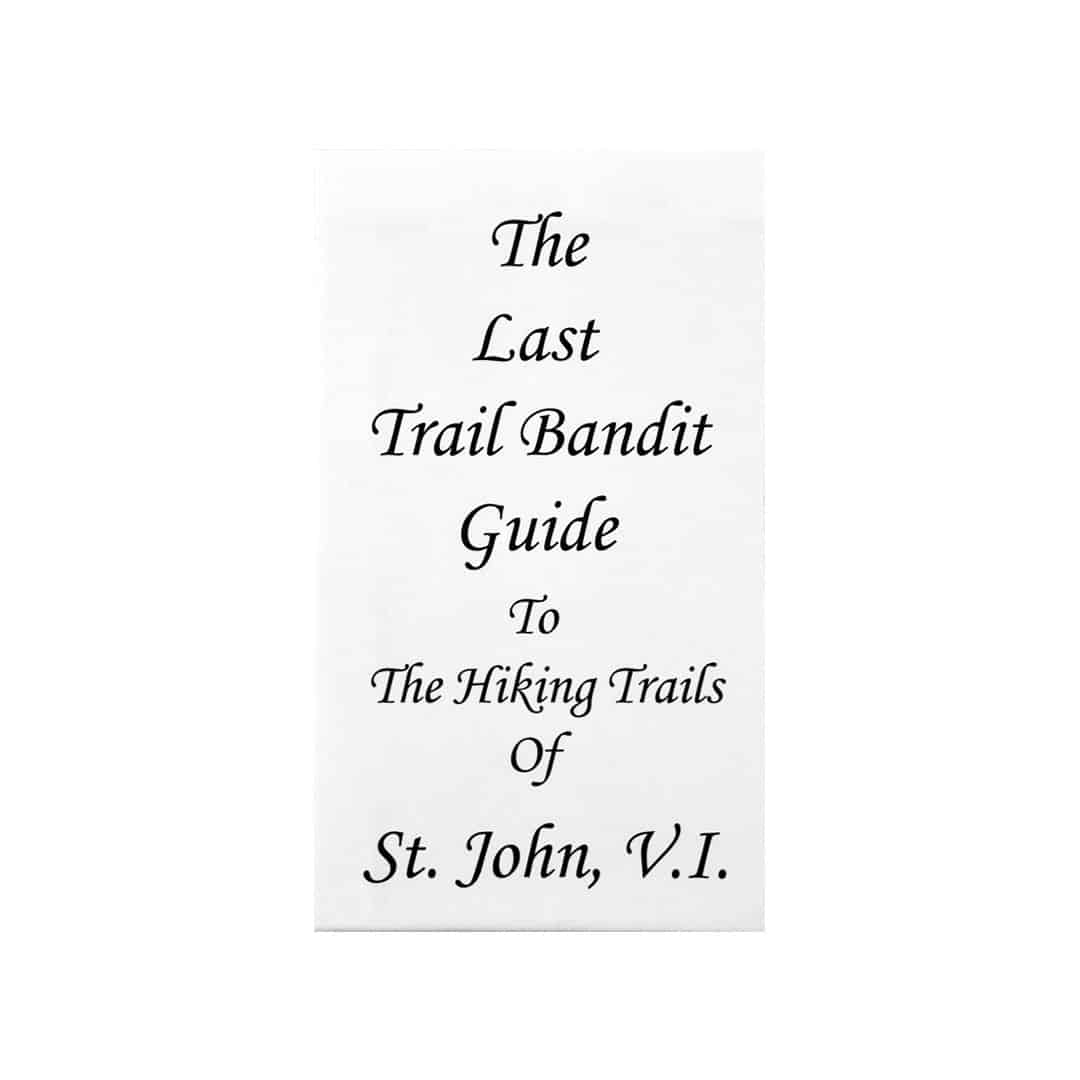
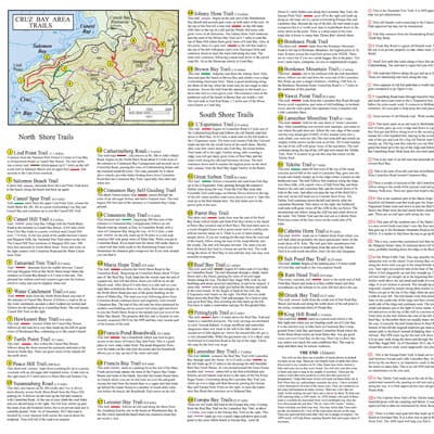
Trail Bandit is a small, folding paper map that covers the hiking trails in the Virgin Islands National Park on St. John, USVI. Its size makes it easy to carry in a backpack or your pants pocket. When open, it is easy to use and manageable while hiking. Thirty-four trails are drawn, labeled, and described. Descriptions include: view, difficulty, vegetation, GPS location, and length. This is a great map/guide to take along while hiking on St. John, visiting old Danish roads and sugar plantation ruins, or when stopping by beaches and vistas. Main roads are drawn and labeled; however, the map focuses on hiking trails. Areas with no trails, primarily the far eastern tip of the island are left out. Contour lines and numbers indicate terrain. Beaches are labeled. Historical ruins and modern development are indicated with small symbols. Includes hiking tips. Material: Paper. Map size: 6 x 4.5 inches folded and 18 x 22 inches fully opened.
Additional information
| Weight | .1000 lbs |
|---|---|
| Dimensions | 7 × .06 × 4.25 in |
3 reviews for St. John Trail Bandit Hiking Map/Guide
You must be logged in to post a review.


adsadmin –
Excellent!
Used this map repeatedly while hiking the trails on St. John. Great size, fits in pocket or backback and has good information! Very useful.
Mike –
Wonderful Little Map
This map is pocket size so easy to keep in shorts or backpack while hiking, and easy to handle when it’s open. It covers the trails with the map plus information and details. Very useful and convenient!
Anne Vincent –
Our best purchase on Saint John
Great little map, completely accurate and much more complete than any other found on the island, including the National Park’s maps. A must for people whose interest in Saint John is not limited to beaches and snorkeling.