$14.95
Out of stock
Description
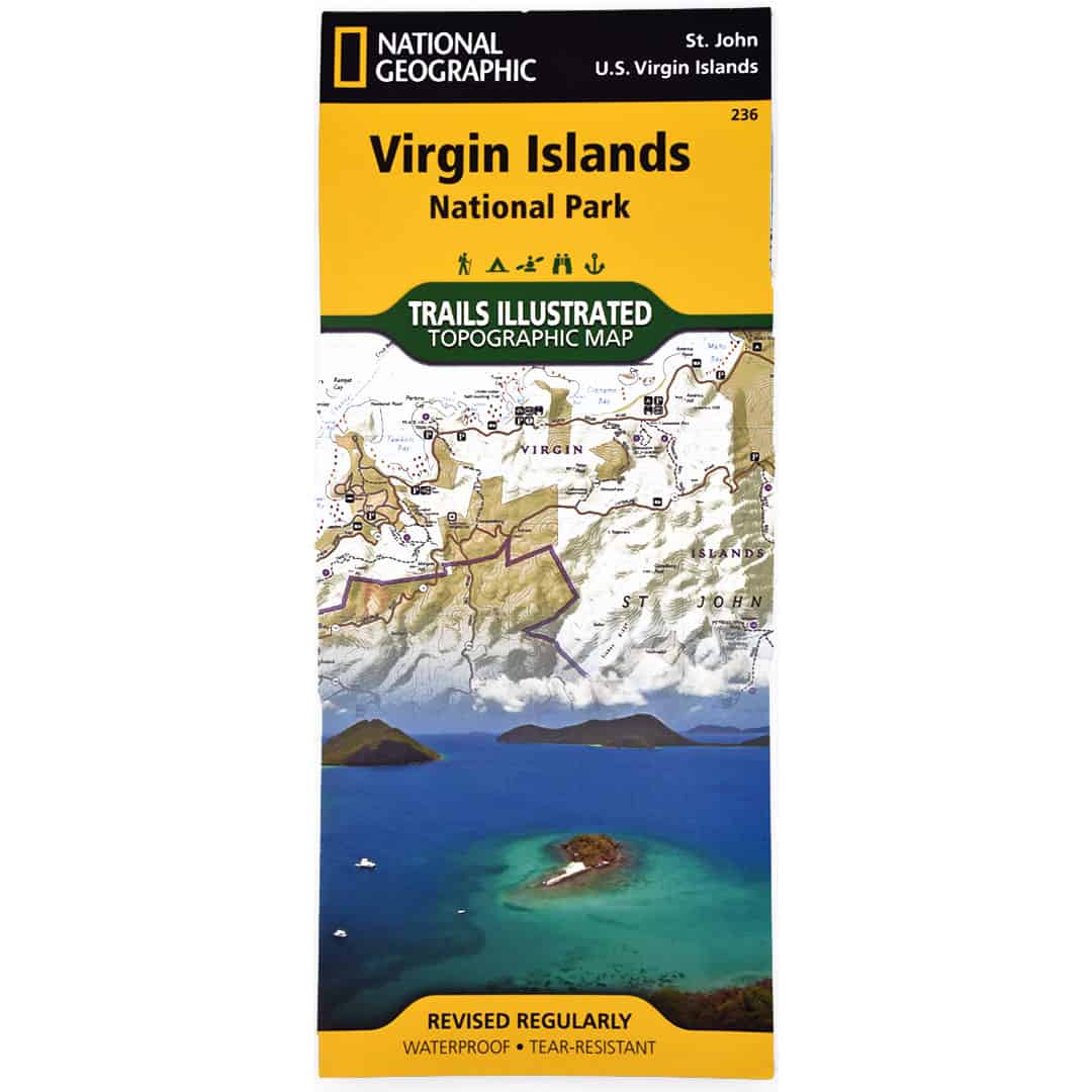
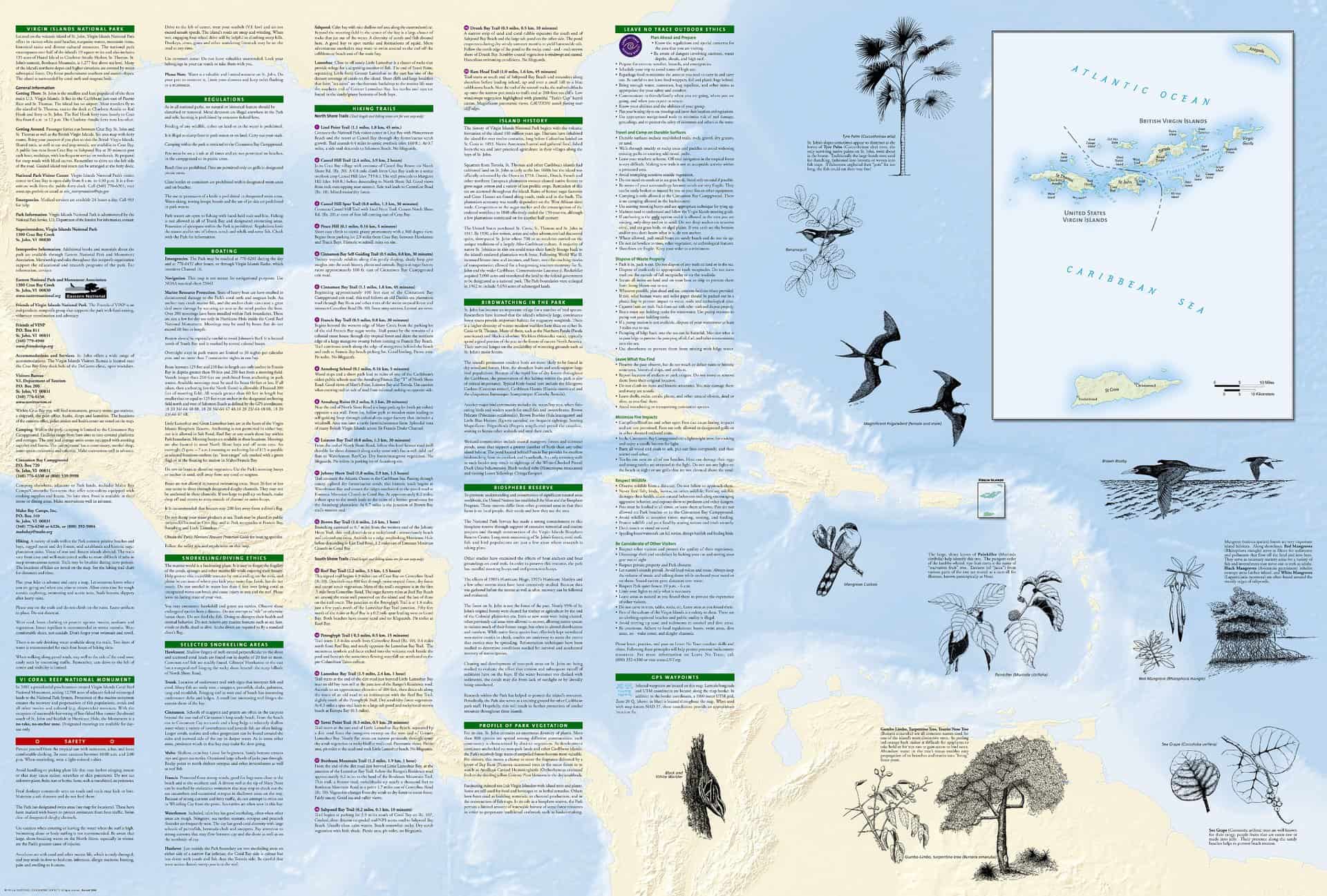
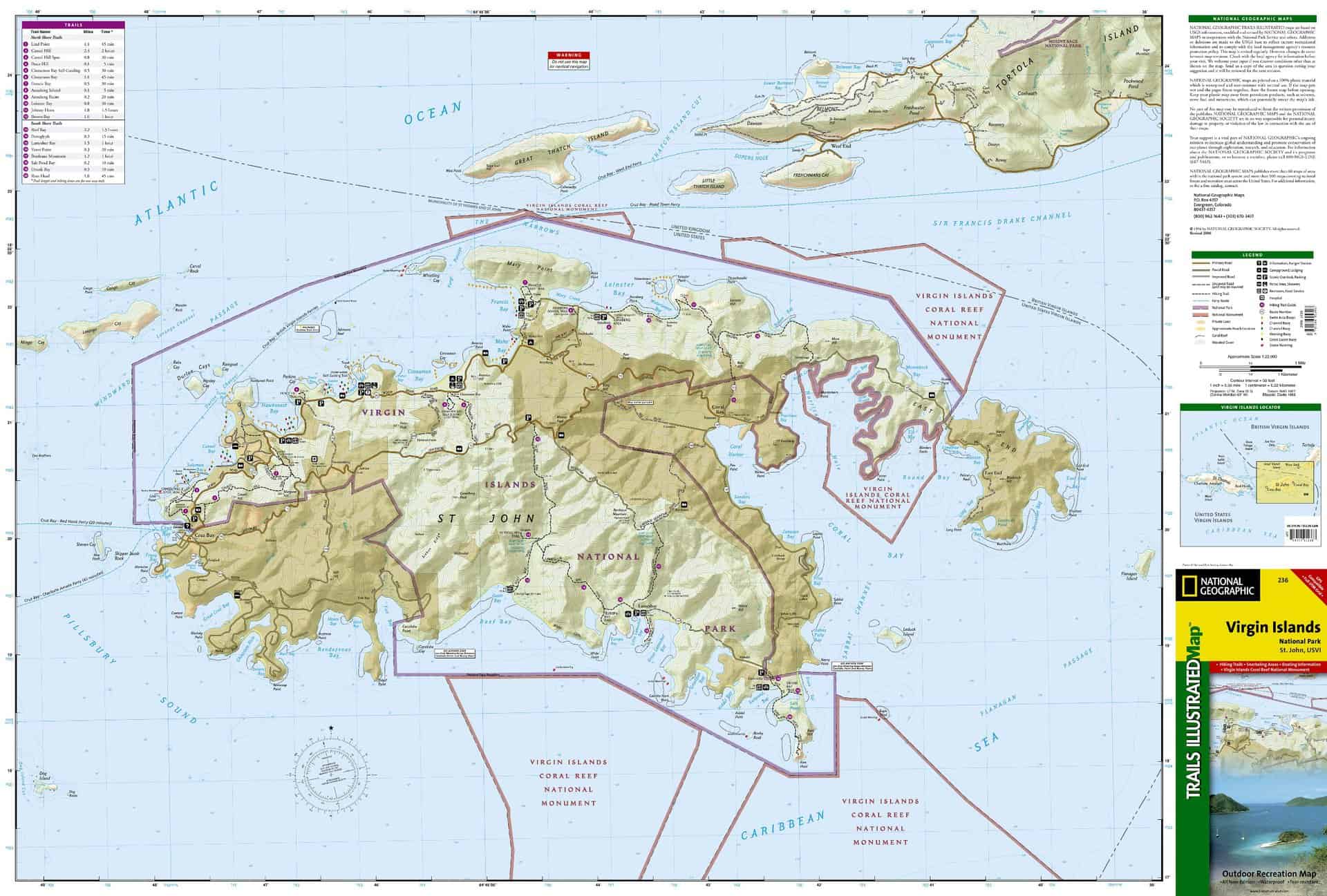
This is a National Geographic map for the Virgin Islands National Park on St. John, U.S. Virgin Islands. On side 1 is a full map of St. John. Other islands are also included, such as Great Thatch, Lovango Cay, Durloe Cays, Leduck Island, and the west end of Tortola. Main roads, trails, coral reefs, scenic lookouts, campgrounds, picnic areas, and ranger stations are labeled; so are buoys and mornings. The Virgin Islands National Park and the Virgin Islands Coral Reef National Monument are highlighted. On side 2 are trail descriptions, including length and time; safety tips; brief island history; and some bird-watching information and images. Printed on waterproof, tear-resistant material with a plastic coating for extreme durability. Map size: 9 x 4 inches folded and 28 x 32 inches fully opened. Scale = 1:22,000.
Additional information
| Weight | .2125 lbs |
|---|---|
| Dimensions | 9.25 × .06 × 4.5 in |
3 reviews for National Geographic Trails Illustrated St. John Map
You must be logged in to post a review.



Jackson –
Nice!
This map has a little bit of everything on it. Roads, hiking trails, ruins, and reefs. Very useful!
Ted –
Quality Map
Like all National Geographic maps – this one is quality. It is the largest Saint John map I could find, with contour lines and trails marked. It was updated recently (after 2006) – so beach names and trails seem to be near 100% accurate. I’d suggest this map to anyone going to St. John and looking to Hike. Worth the price and it will last a long time (because I know once you go you will want to go back).
John –
The Cartographers Map!
This map is a little dated, but is the most detailed that I have found. The only deficiency is that the symbol guide is somewhat incomplete. I actually had to call the National Geographic Society’s Mapping Unit somewhere in Colorado for some of the offshore symbols, (mangroves, rocks, and reefs!) and the cartographer wasn’t even sure but as we were both at computers the USGS website bailed both of us out. This is a large map, not the one you want to be referencing while driving, (especially on St. John’s roads!)